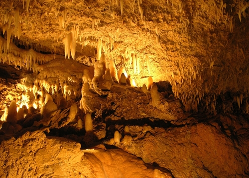
A team of students and researchers from the University of South Wales mapped part of the National Showcaves in Wales with a 3D laser scanner.
Discover our work in the field.
#3DTakeOver
Aerial and terrestrial 3D laser scanning technology will continue to be important to the evolution of OpenStreetMap.
A new three-part program on PBS highlights how researchers use 3D laser scanning.
Aerial LiDAR tools are essential for the continuation of critical research into the Earth's past.
Types of laser scanners part 1: Short-range triangulation scanners’ benefits and applications
There are many types of 3D laser scanning technology out there, one of which is laser triangulation, which tends to be used for small objects and items in both internal and external environments.
Preserving historic sites through 3D modeling and laser scanning is important for heritage tourism, research and engineering education.
3 benefits of using mobile laser scanners
Handheld 3D laser scanning technology has many advantages for numerous industries.
The New York State Pavilion in Queens may soon be demolished, and researchers know that if they are going to document the site's noteworthy past, they will need to use 3D laser scanning to do it.
3D modeling skills are in demand
3D modeling is becoming one of the most important skills for creative professionals to have.
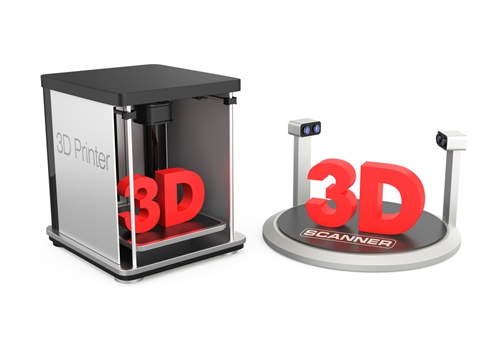
Can 3D laser scanning be integrated with 3D printing?
Many laser scanning manufacturers are already creating laser scanners that can quickly send scans and data sets to 3D printers.

